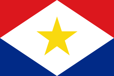
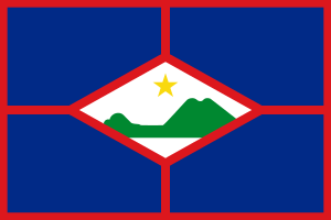
Visa and entry requirements for Saba and Sint Eustatius:
Passport required
No visa is required
Information from the Foreign Office about your Saba or Sint Eustatius trip:
https://www.auswaertiges-amt.de/de/niederlandesicherheit/211084
Saba and Sint Eustatius are the smallest inhabited islands in the former Netherlands Antilles. They both belong to the so-called “Winward Islands” or in English, the Leeward Islands.
Geographically, the Dutch Caribbean islands are located south of Saint Barth and St. Martin and northwest of the island state of St. Kitts and Nevis.
Both islands, which are under Dutch care, use the US dollar as the island's currency. The official language on Saba and Sint Eustatius is Dutch, but English is also mostly spoken colloquially.
Saba is the smallest of all inhabited Caribbean islands with an area of around 13 square kilometers and only around 2,000 inhabitants.
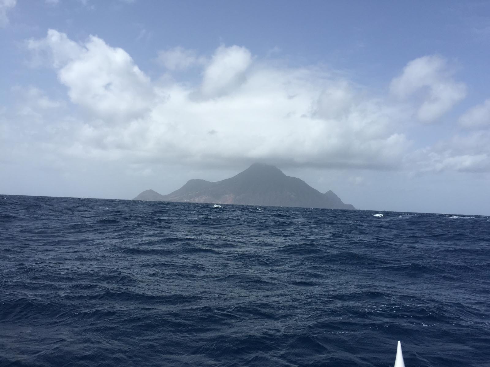
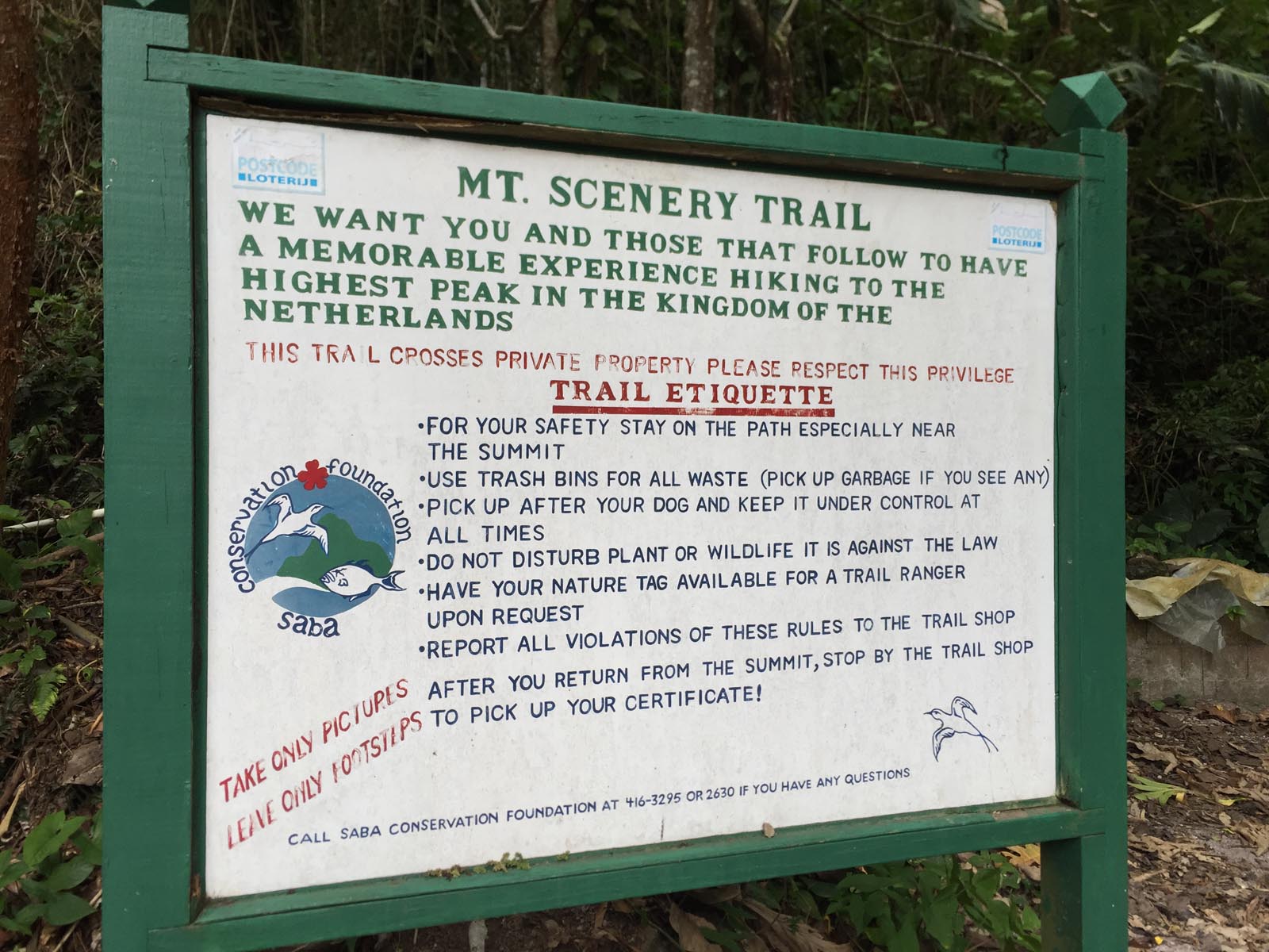
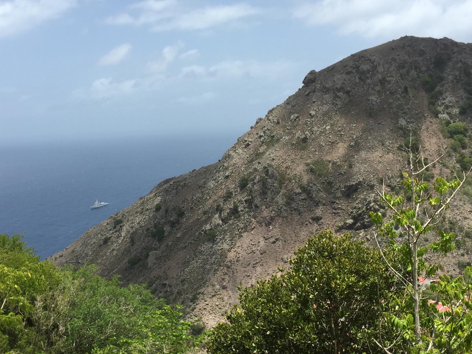
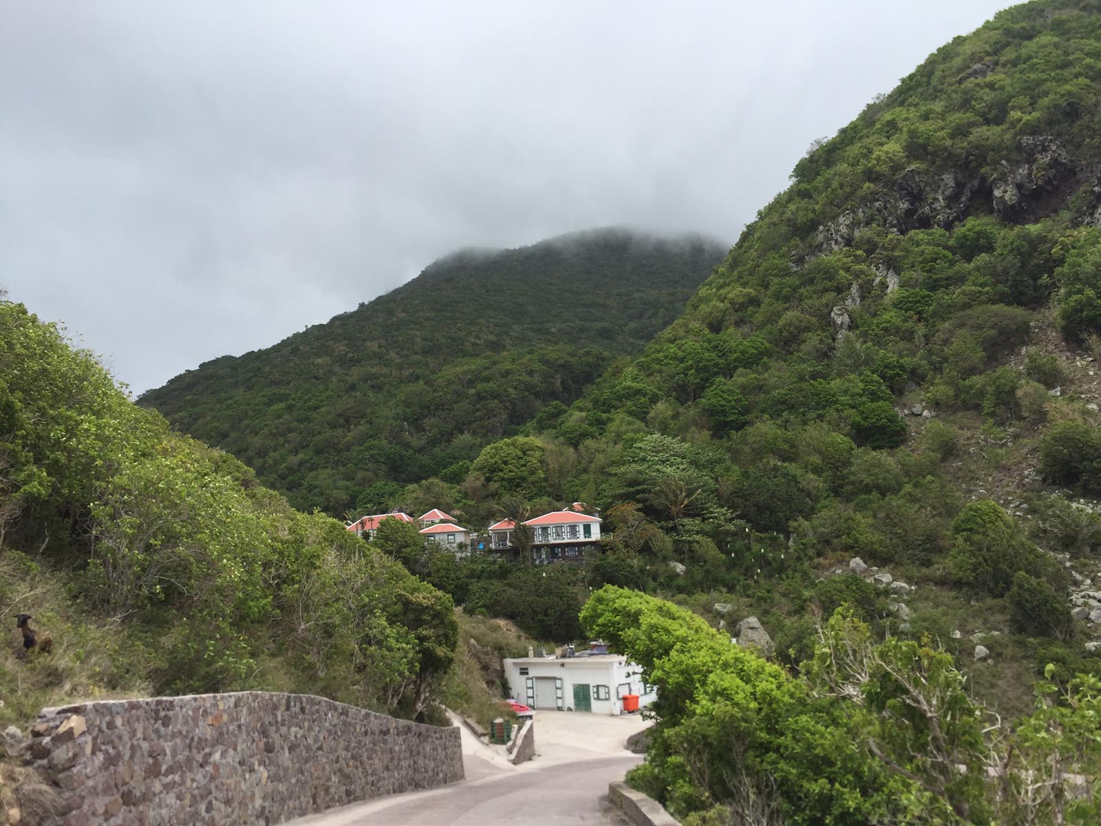
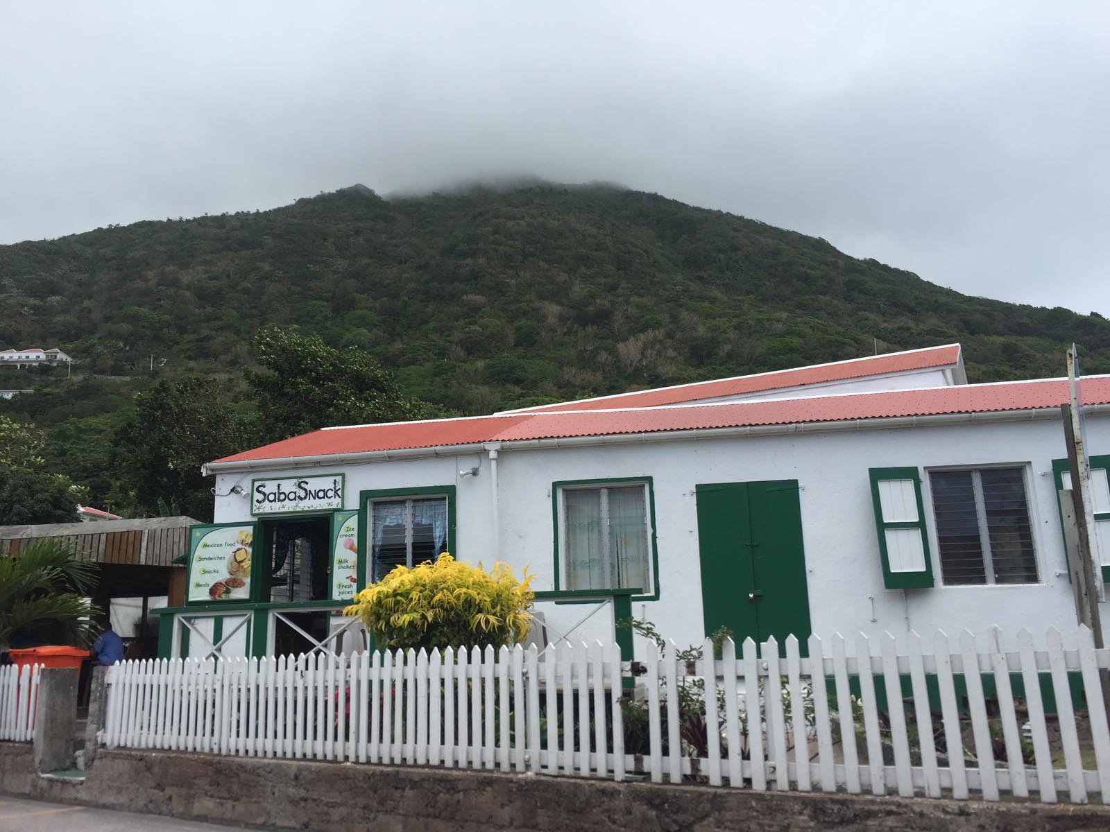
The land area of Saba is of volcanic origin, almost circular and has its highest elevation with the 877 meter high volcano Mount Scenery.
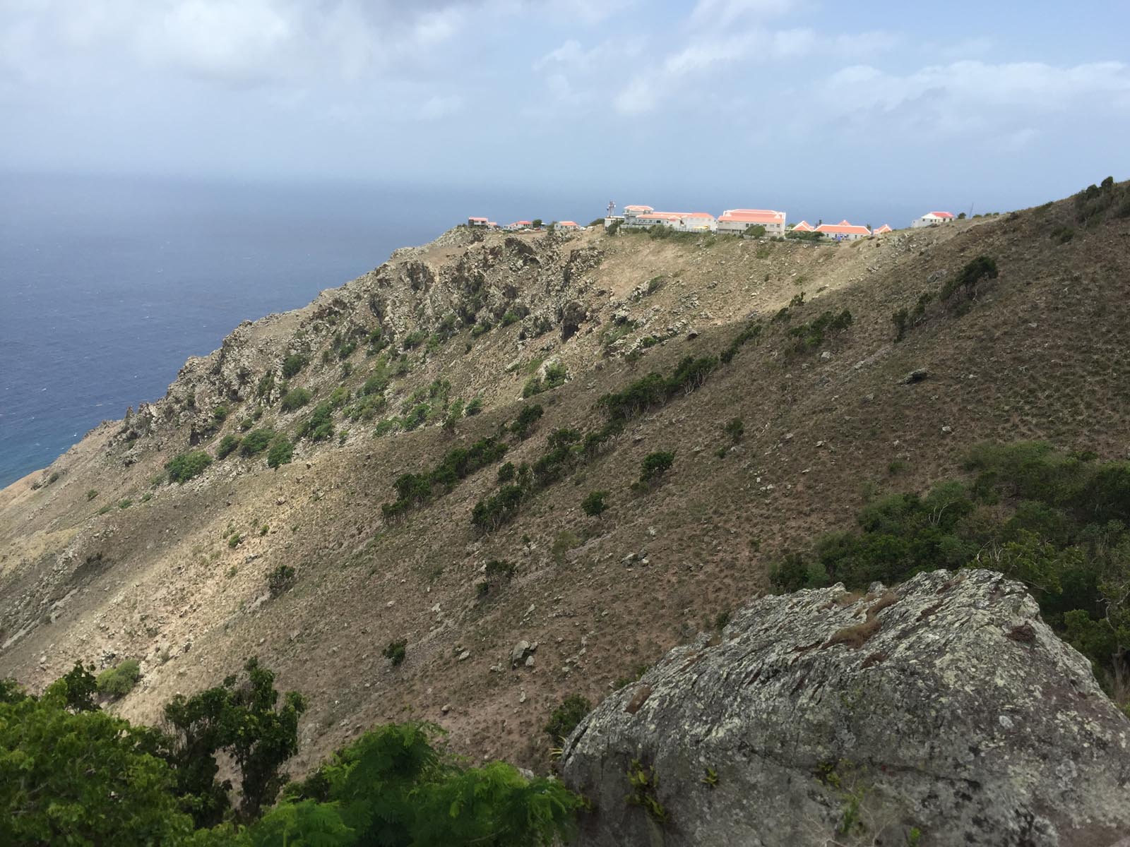
There are no beaches on the Caribbean island, which has a consistently warm tropical climate, because it is only surrounded by cliffs. A large part of Saba is located in the Saba National Park, which despite its small size is home to a very varied flora and fauna.
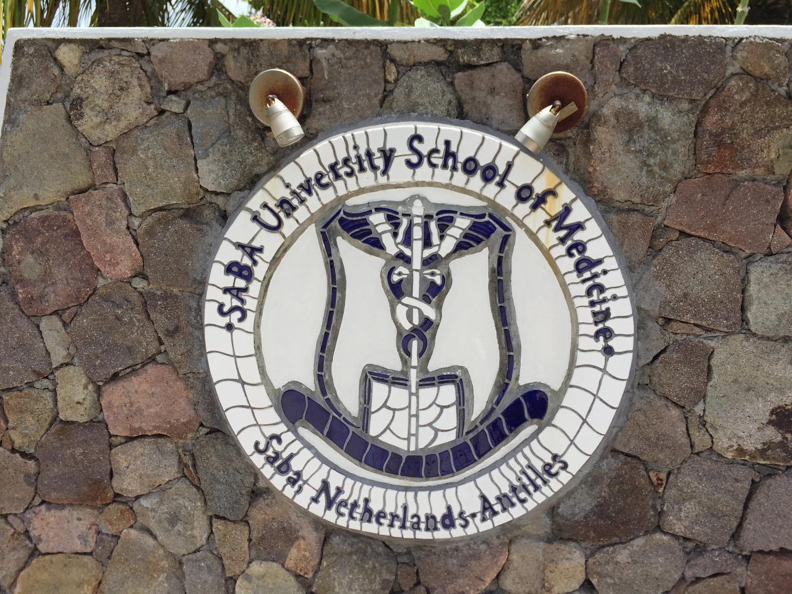
The Caribbean island of Saba's main sources of income are tourism, the university with many international students and the sale of the famous lace “Saba Lace”.
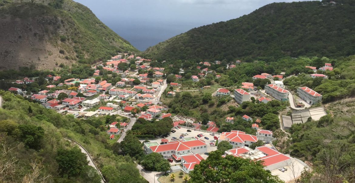
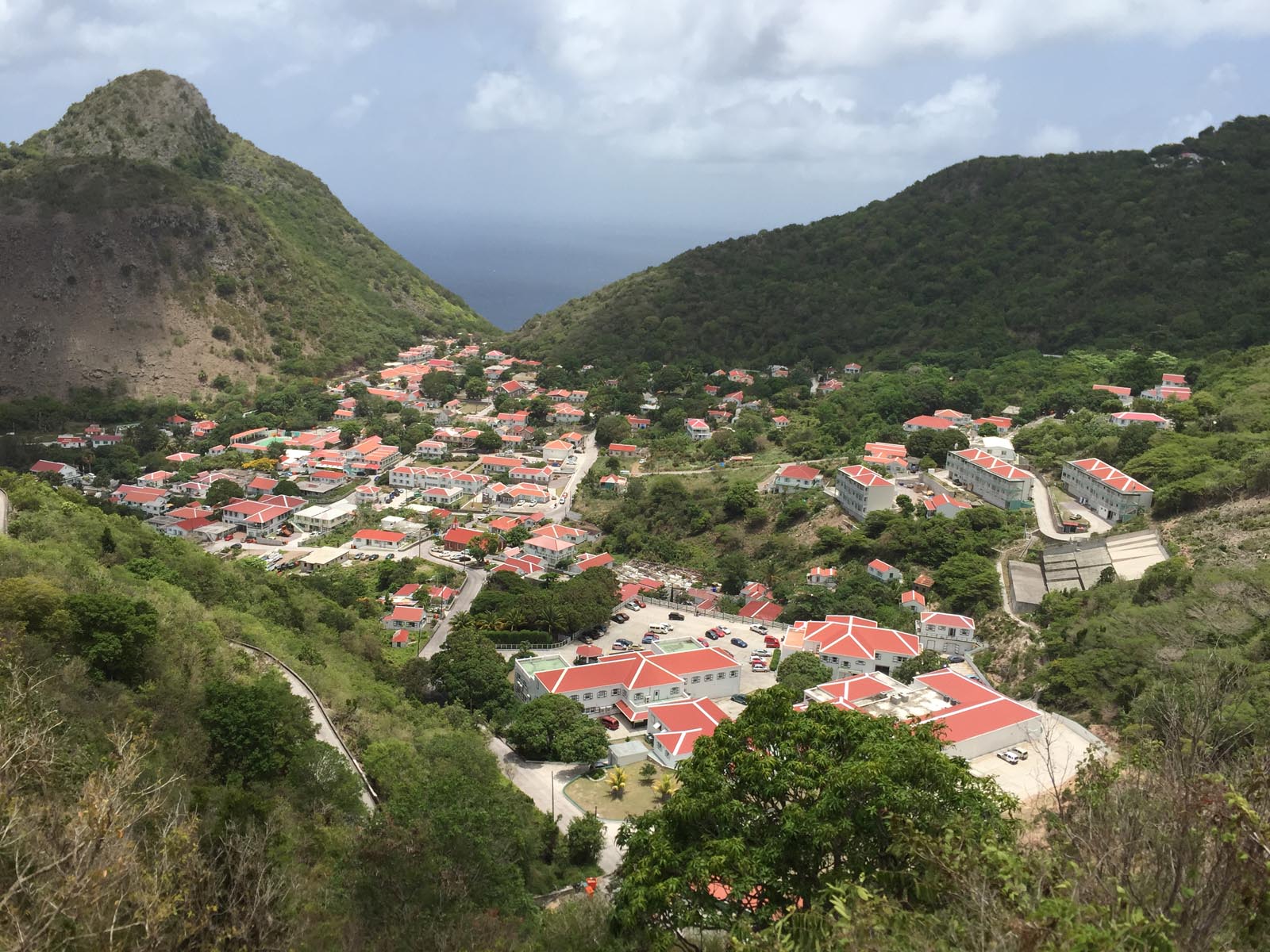
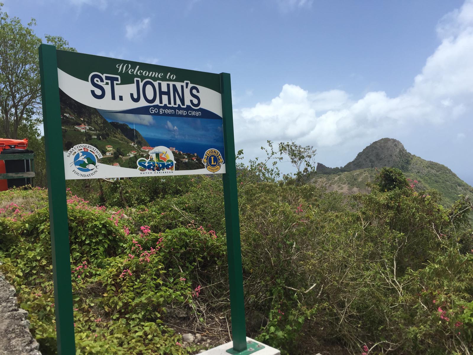
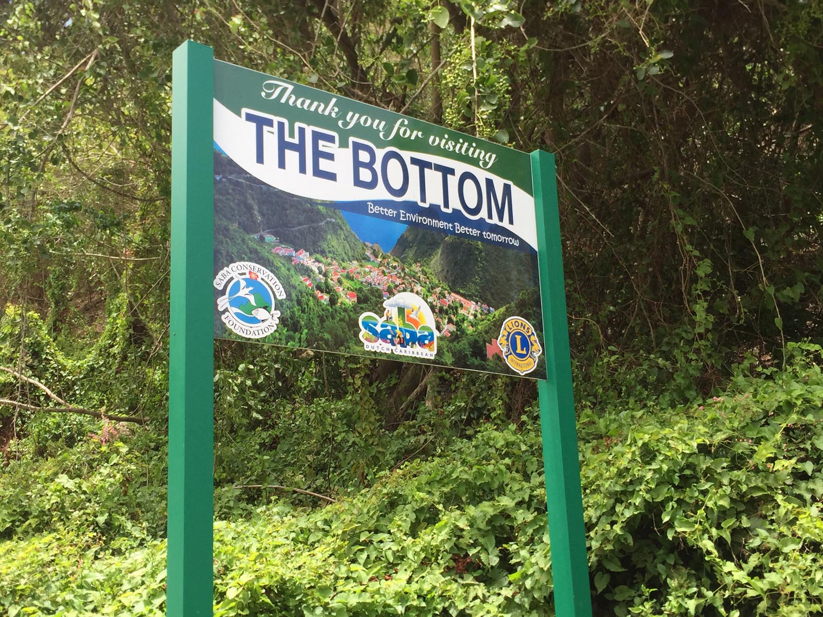
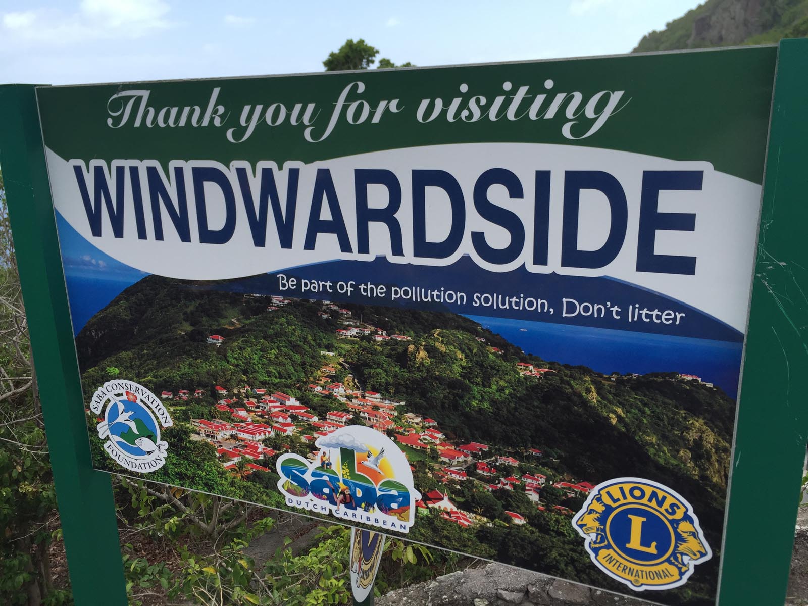
The capital of Saba is The Bottom with around 700 inhabitants. Other towns on the island include Windwardside, Zions Hill and St. Johns.
By far the most spectacular attraction on the entire island is Saba Airport, which is considered one of the most difficult airports in the world to fly into. The runway, which is only 400 meters long, is also one of the shortest in the world.
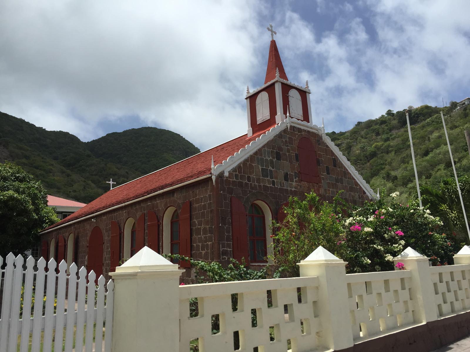
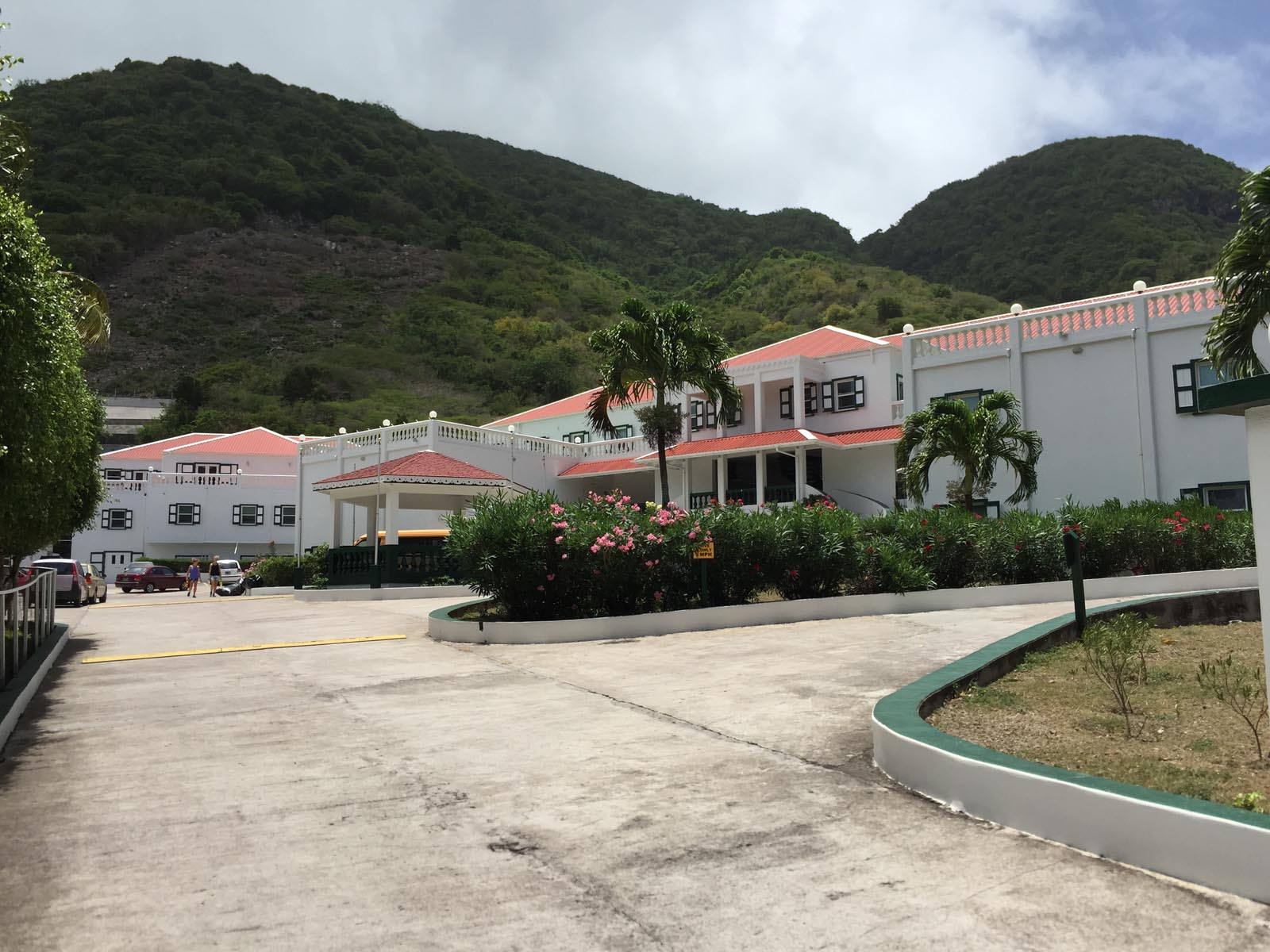
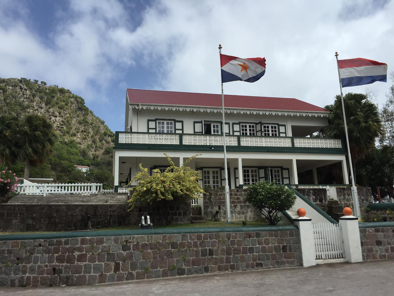
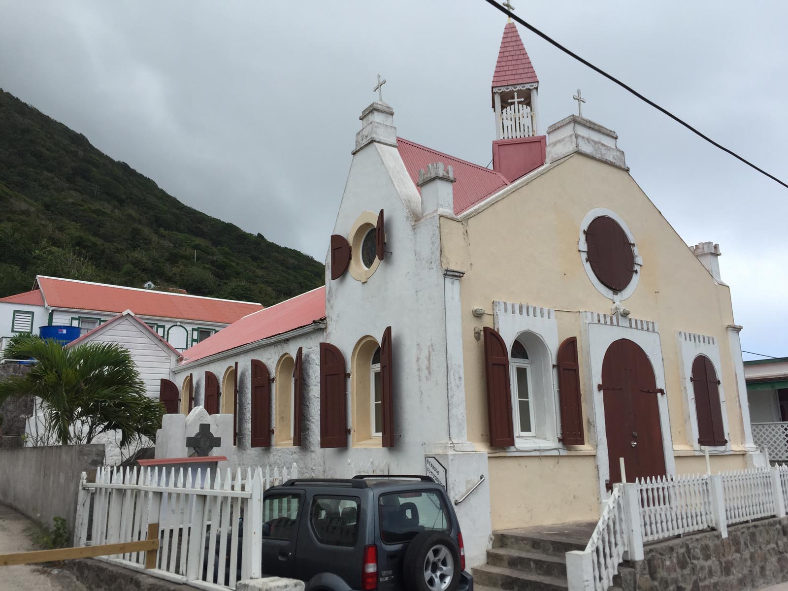
Other interesting sights in Saba include the 800 steps leading down from the capital, carved into the steep cliffs, to the harbor of Ladder Bay, the Sacret Heart Church, the visitor center, the history museum, the volcano Mount Scenery, the harbor of Fort Bay , the surrounding and almost untouched fascinating underwater world of the national marine park of Saba, the Booby Hill with its breathtaking sunsets, the Archaeological Museum, the government building and the Queens Garden Restaurant on the 586 meter high Troy Hill and the unique view there.
Sint Eustatius is a tropical island paradise and the second smallest inhabited island after Saba, with a land area of around 21 square kilometers and around 3,300 inhabitants.
In the 18th century, when the island of St. Eustatius was at its economic peak, more than 8,000 residents lived there. With the permanent population, some waiting ship crews and temporary traders, there were almost 20,000 people.
The capital of the Caribbean island of Sint Eustatius is Oranjestad with around 1,200 inhabitants, not to be confused with the capital of Aruba.
Other larger towns on the island are Golden Rock/Concordia, Wilton Farm/Union, Princess Garden, Cherry Tree, Jeems, Bay Brown, Mansion and Chapel Piece.
The area of St. Eustatius has the sleeping volcano “The Quill”, which, with a height of 600 meters, is also the highest peak and whose crater is also the country's main tourist attraction.
Other attractions of Sint Eustatius include the Boven National Park, the national St. Eustatius Marine Park, the Fort de Windt, the beach of Oranjestad Bay, the Reform Church, the Historical Museum, the Zeelandia beach, the botanical garden, the Fort Oranje, the Library, synagogue and Lynch Bay beach.
The island of Sint Eustatius is particularly popular with international diving tourists due to its almost untouched and strictly protected underwater world. Additionally, the Caribbean island's special tropical rainforest, with its rare flora and fauna, offers an ever-increasing destination for eco-visitors.
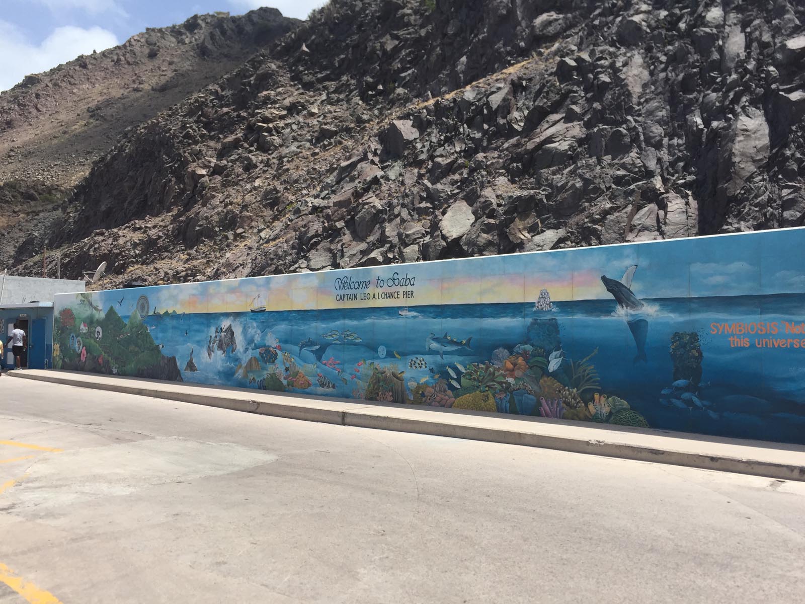
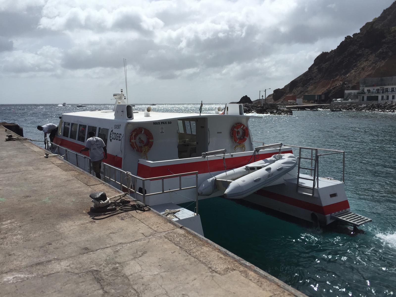
In July 2015 I visited the volcanic island of Saba for the only time so far. With a day trip by boat from St. Maarten, I spent a full day on this beautiful and unique island.
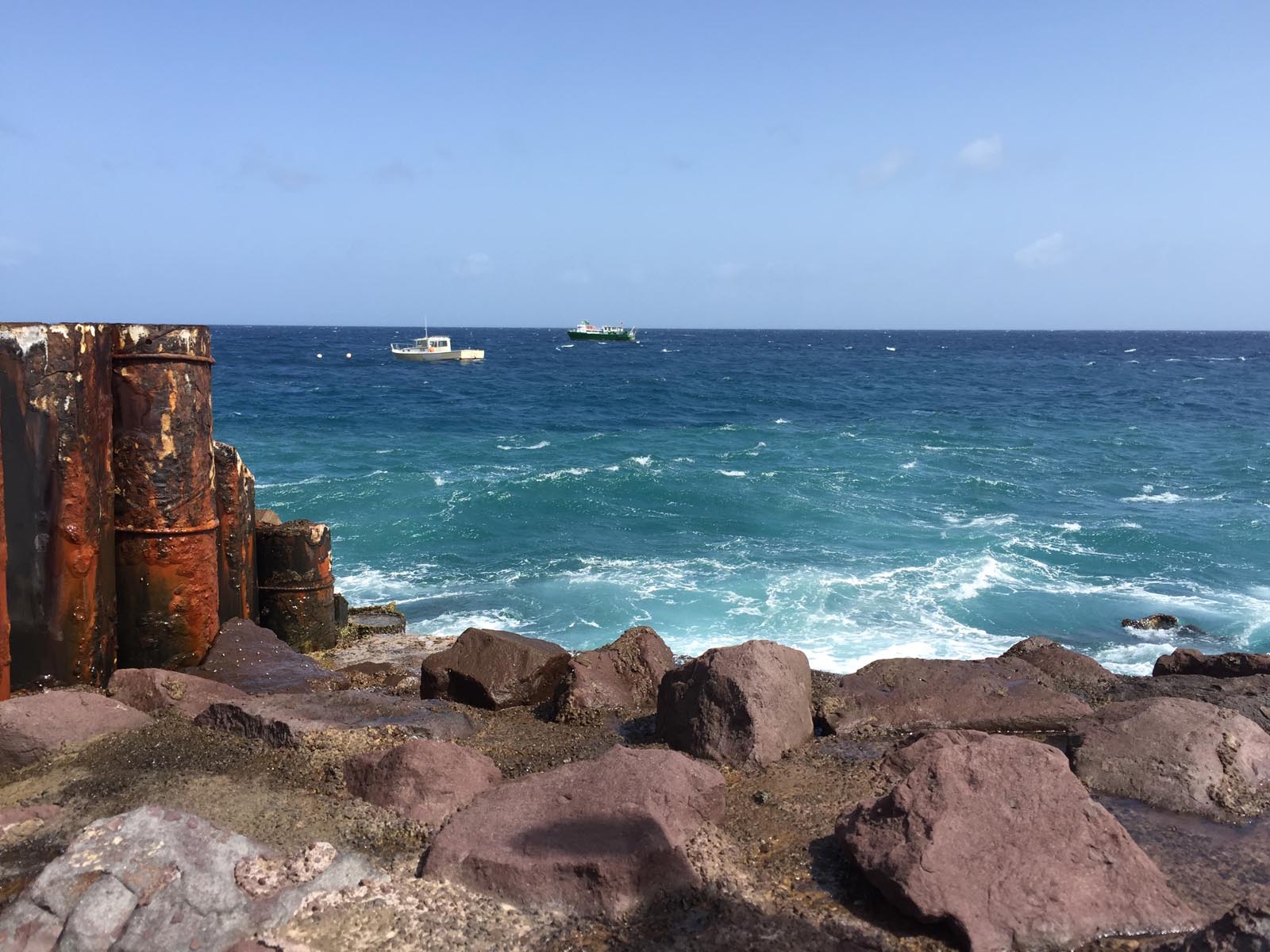
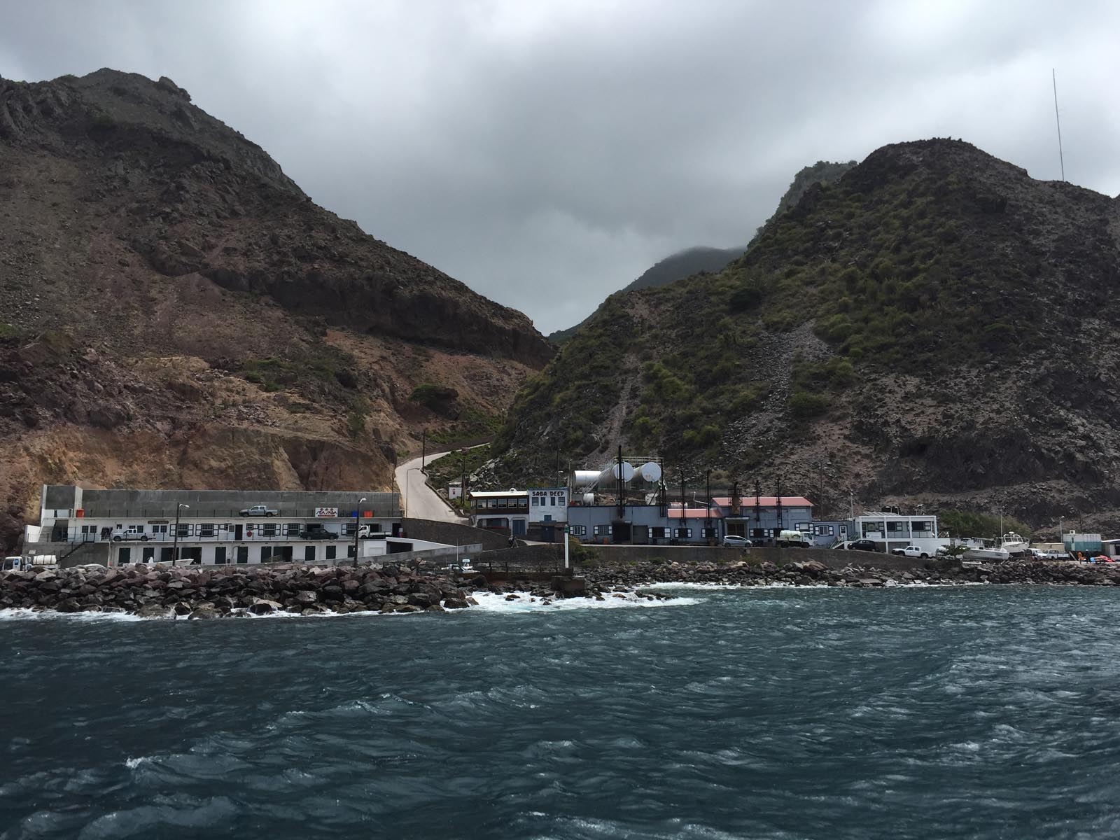
The huge volcano that was getting closer and closer alone made the 90-minute journey a real experience.
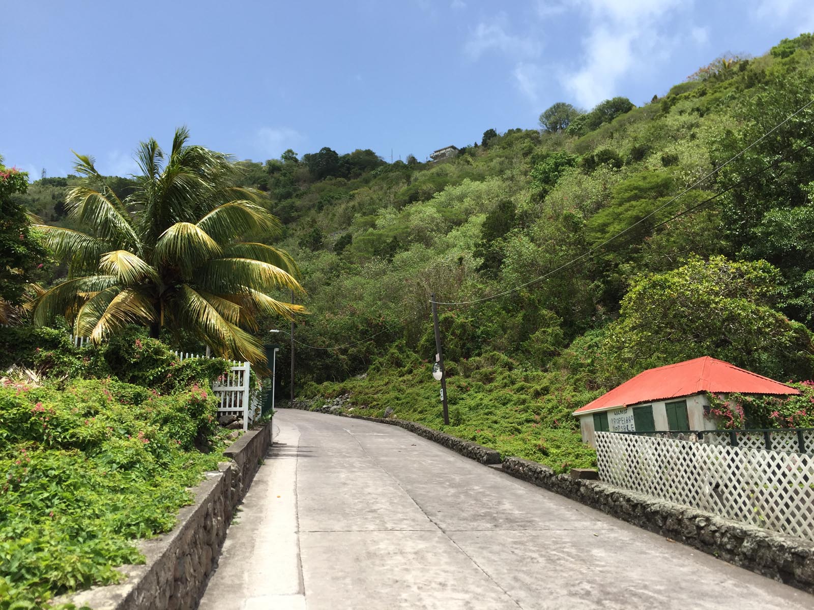
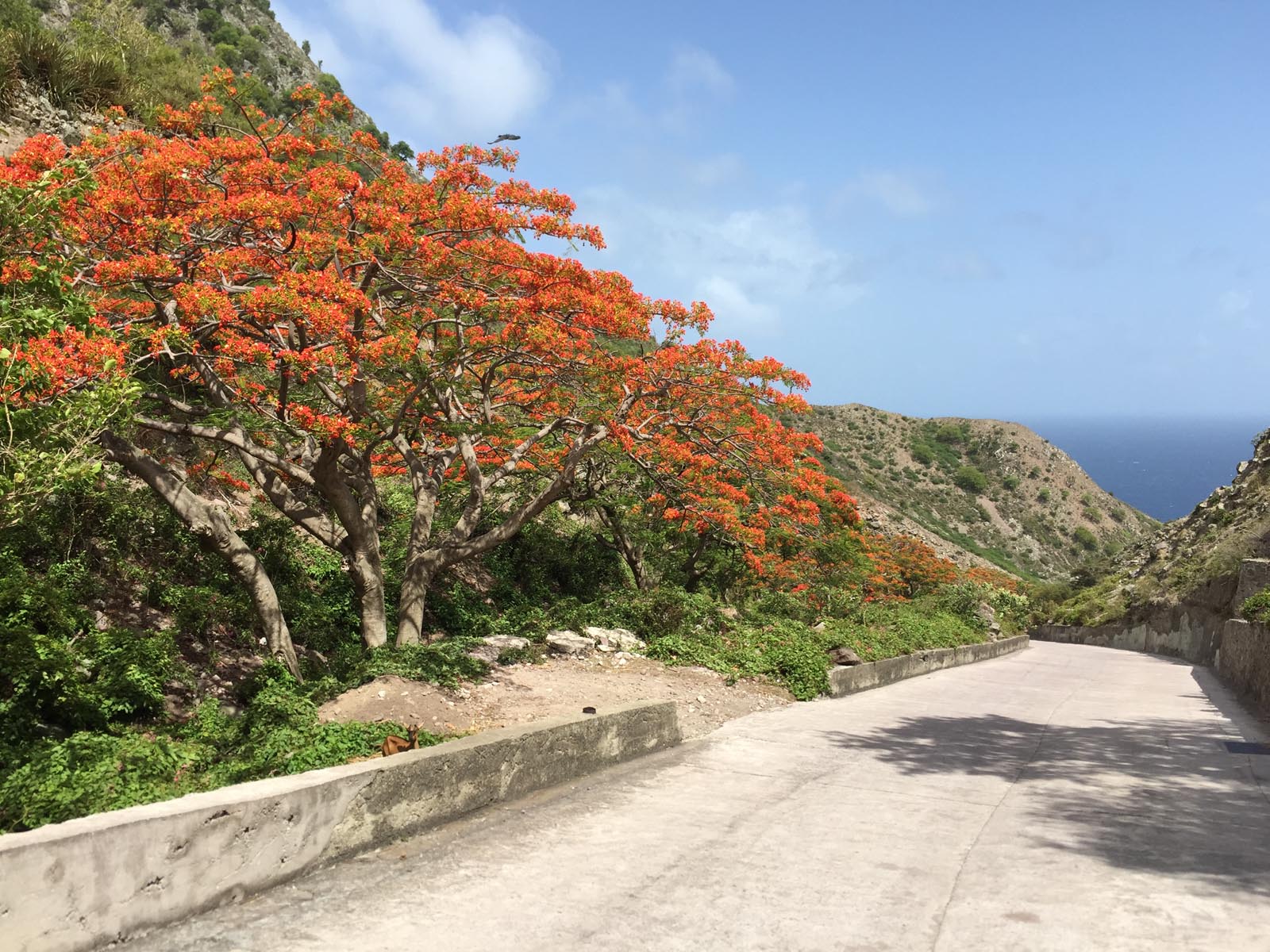
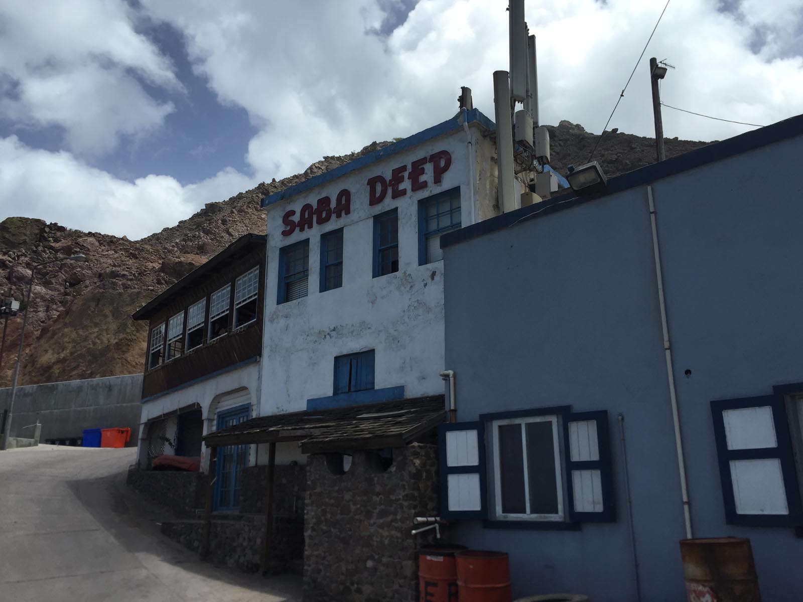
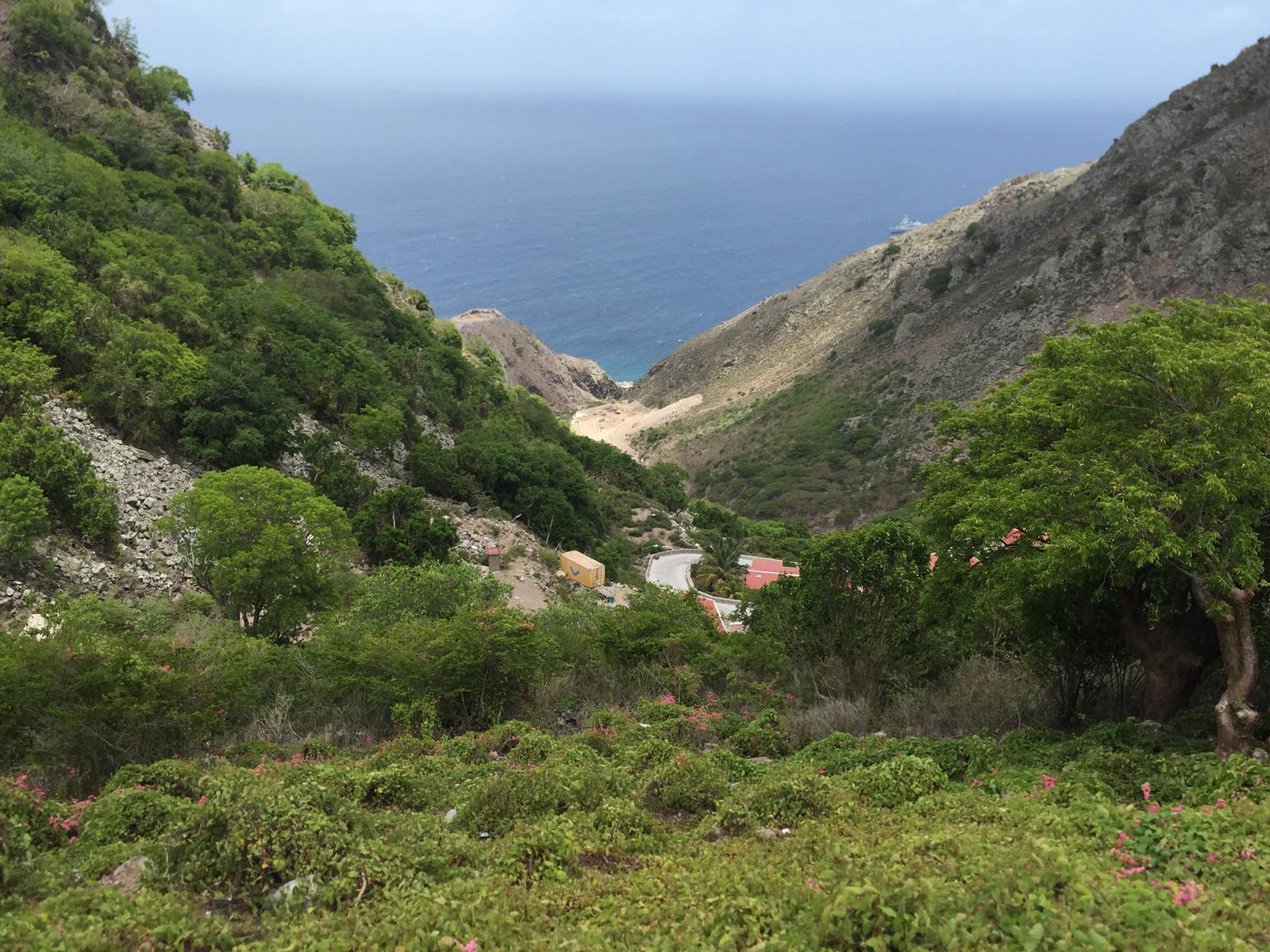
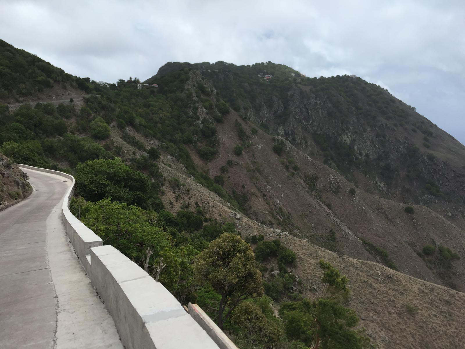
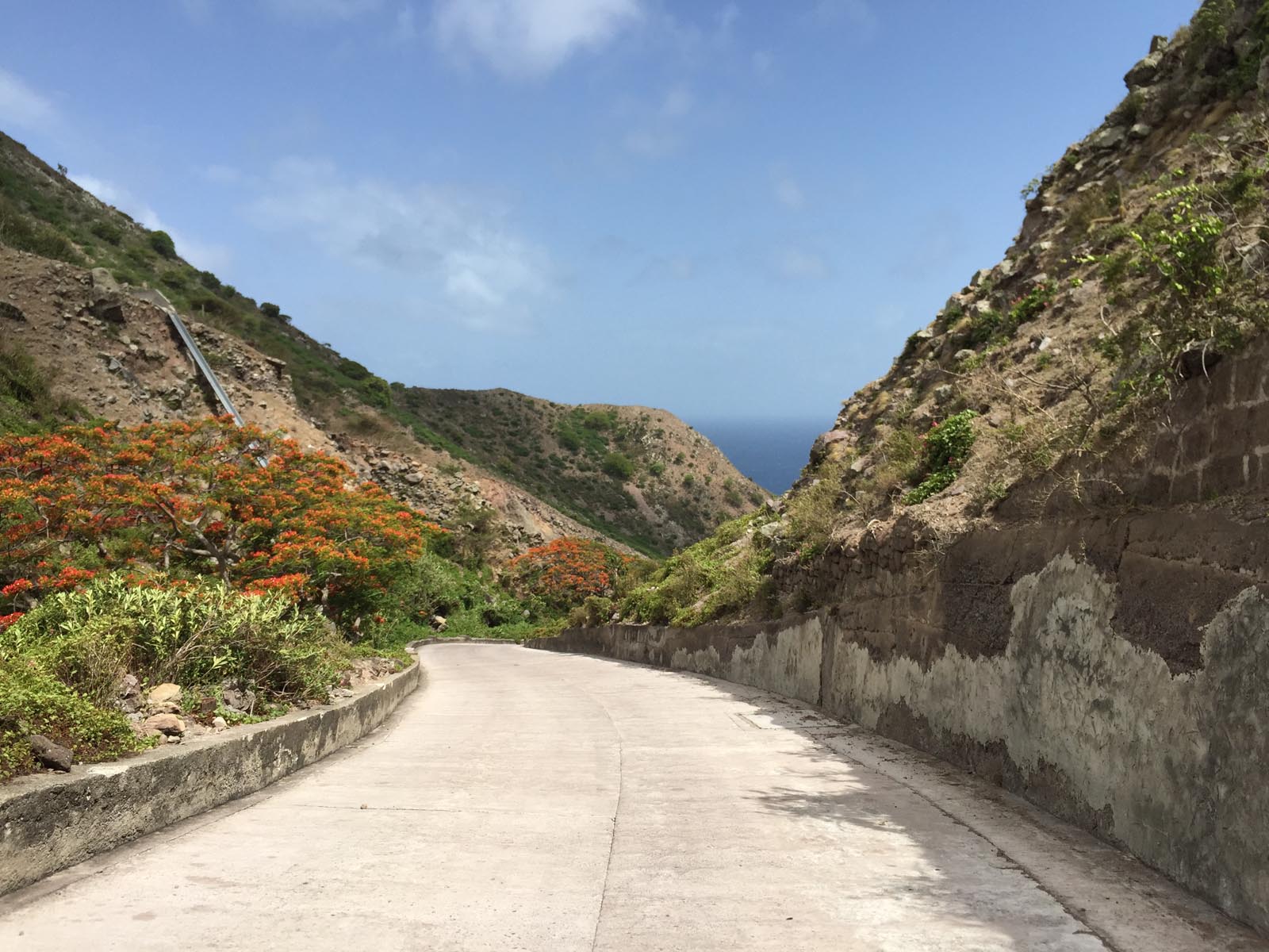
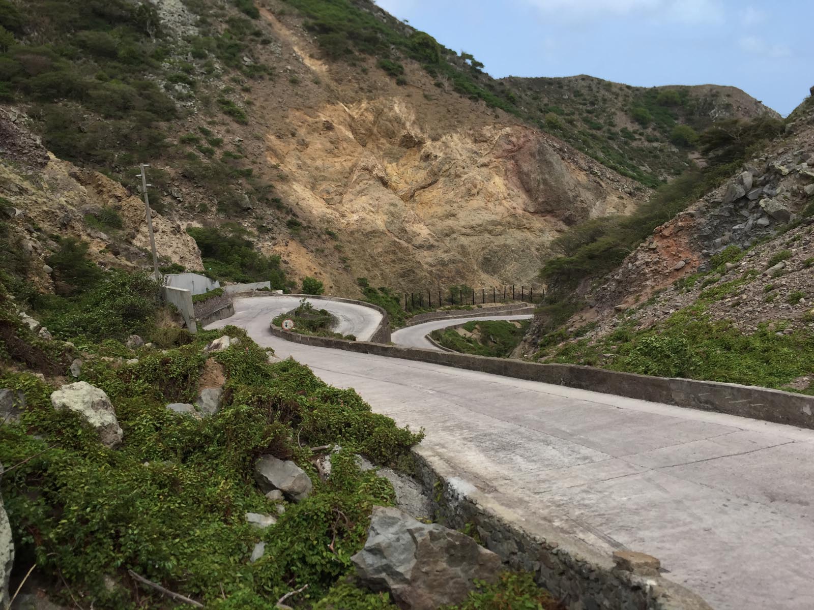
With my buddy Sascha, my constant travel partner on my long nine-week Caribbean tour, we decided, after docking the ferry, to walk up the somewhat steep looking 600 meter long path from the port to the capital. But after 100 meters and an incredible amount of torture, we realized that the road leading up to the top was so steep that it was almost impossible to walk. Luckily, an approaching truck driver saw our exertions and took us up to the top. To date, this road was the steepest path I have ever walked even partially up. It couldn't even be compared to some of the steep hiking trails in Nepal or Bhutan in the Himalayas, what an amazing experience.
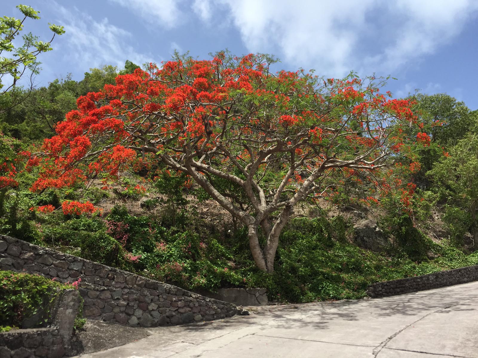
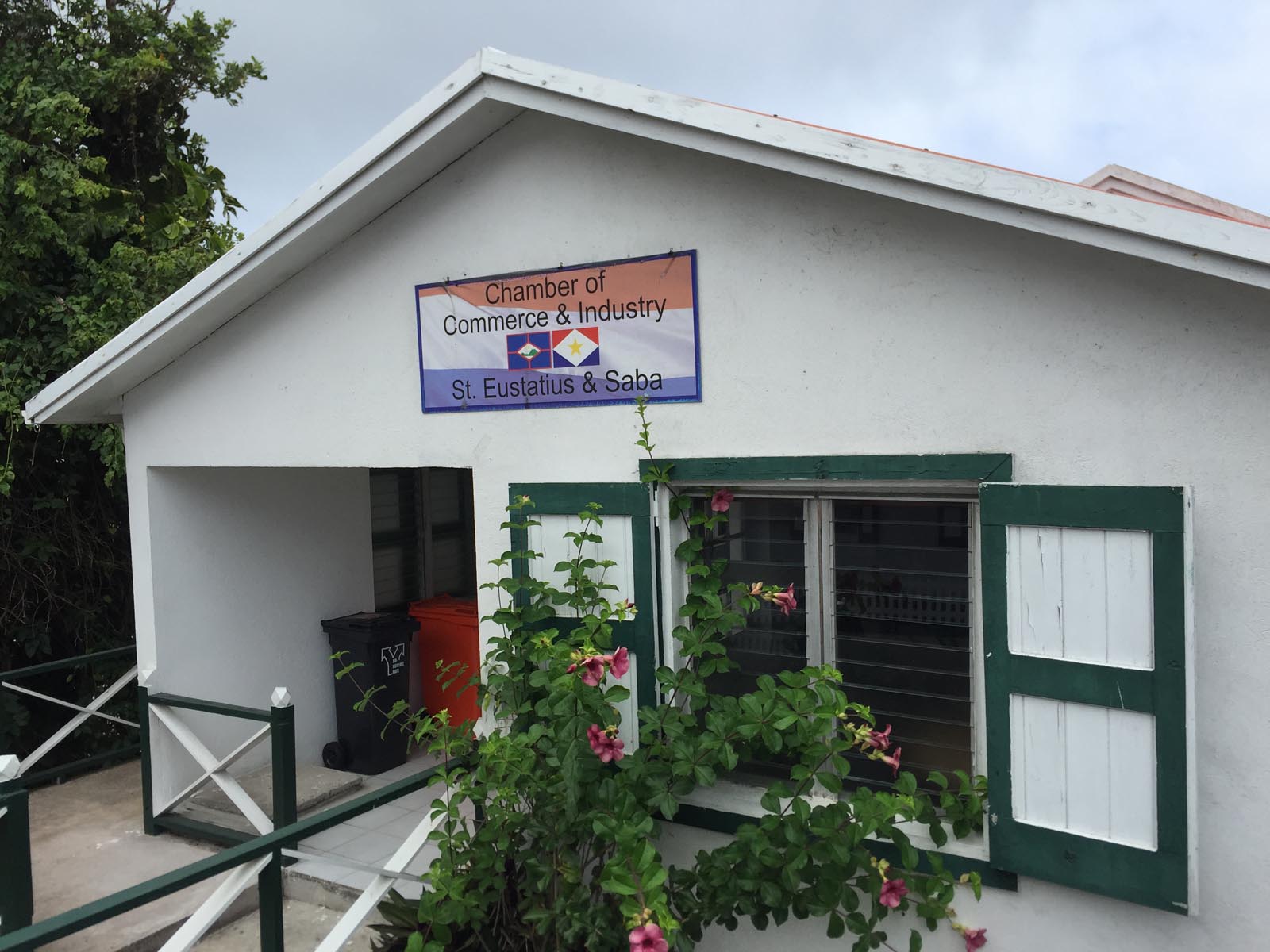
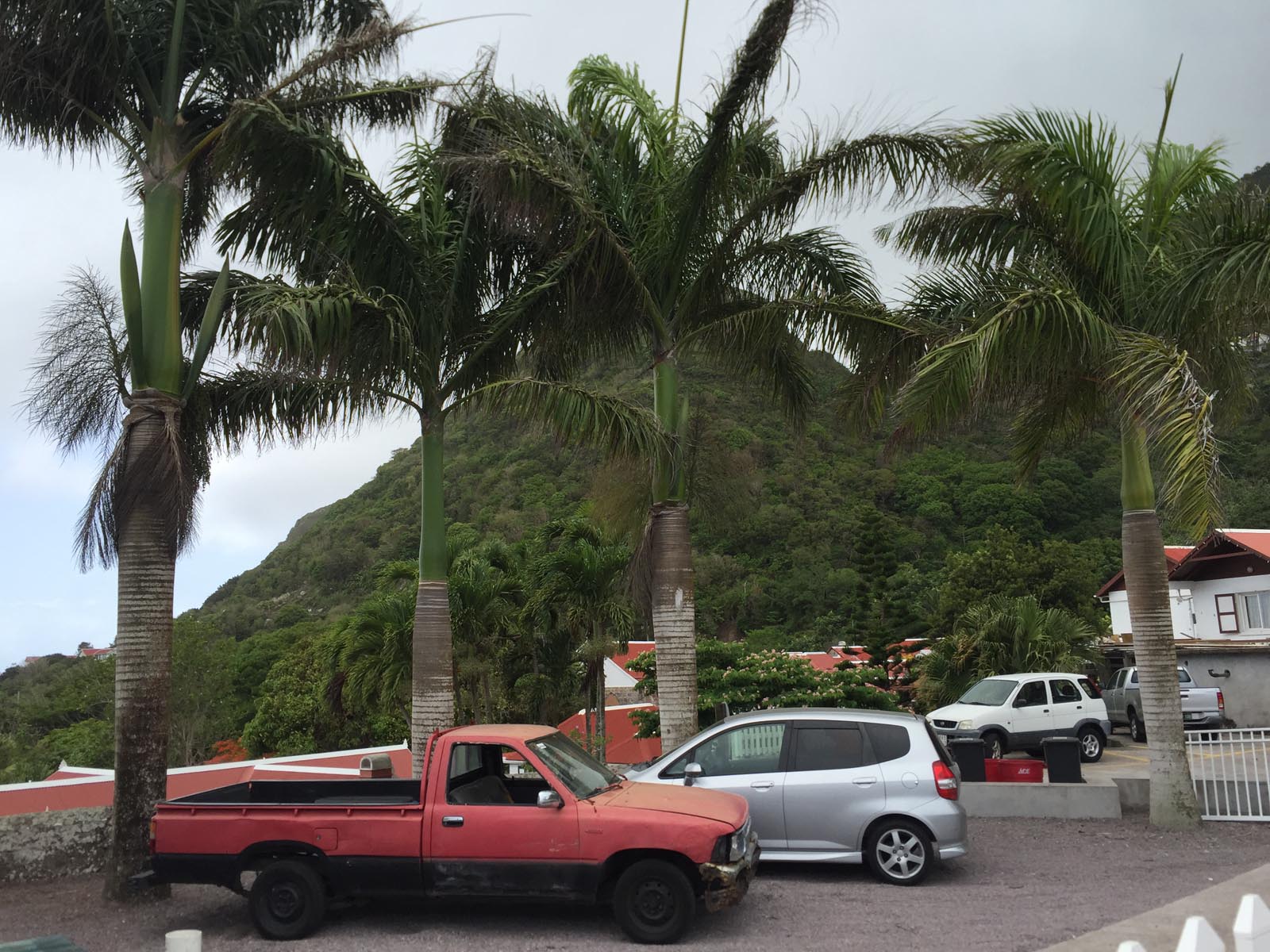
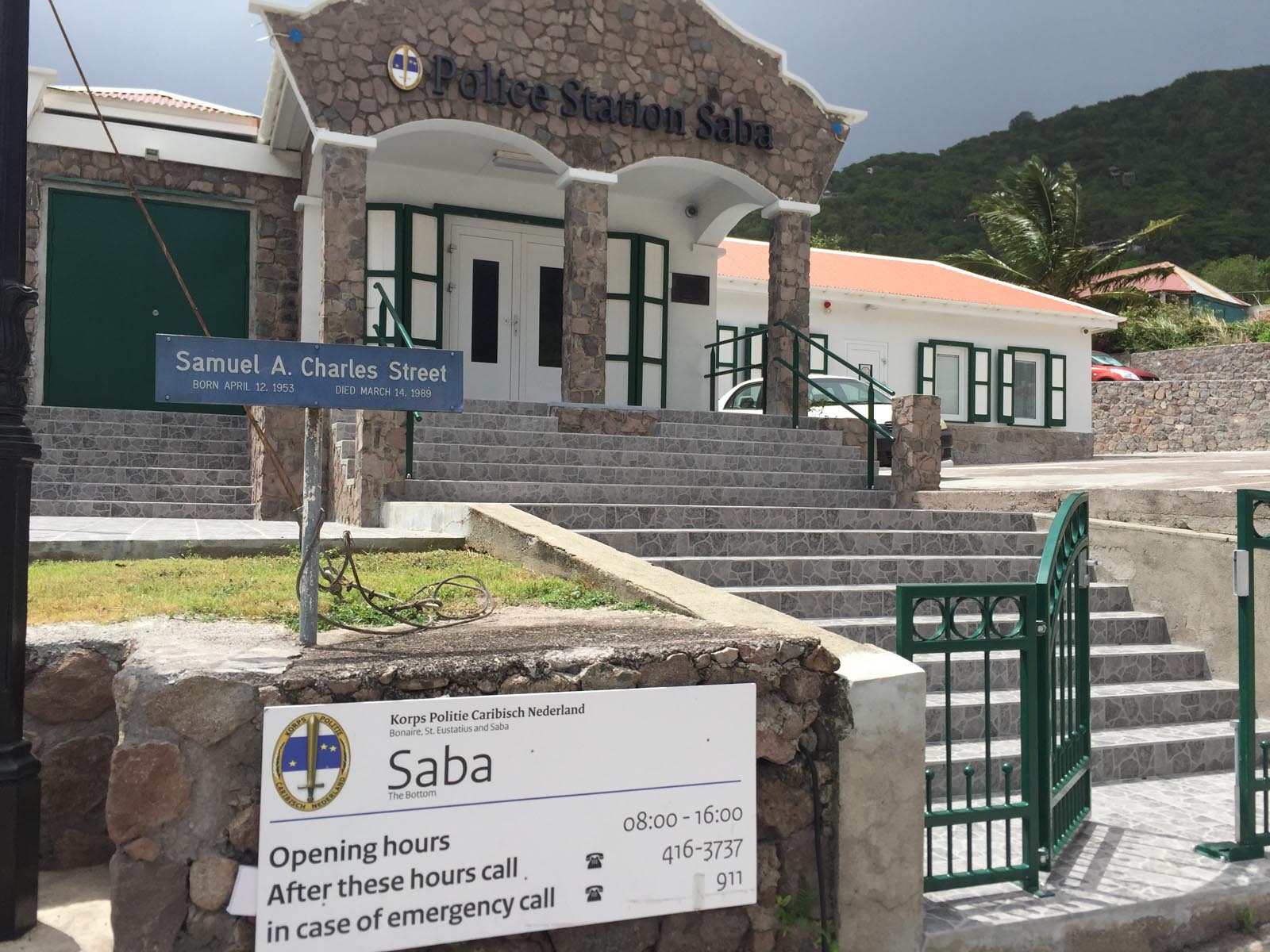
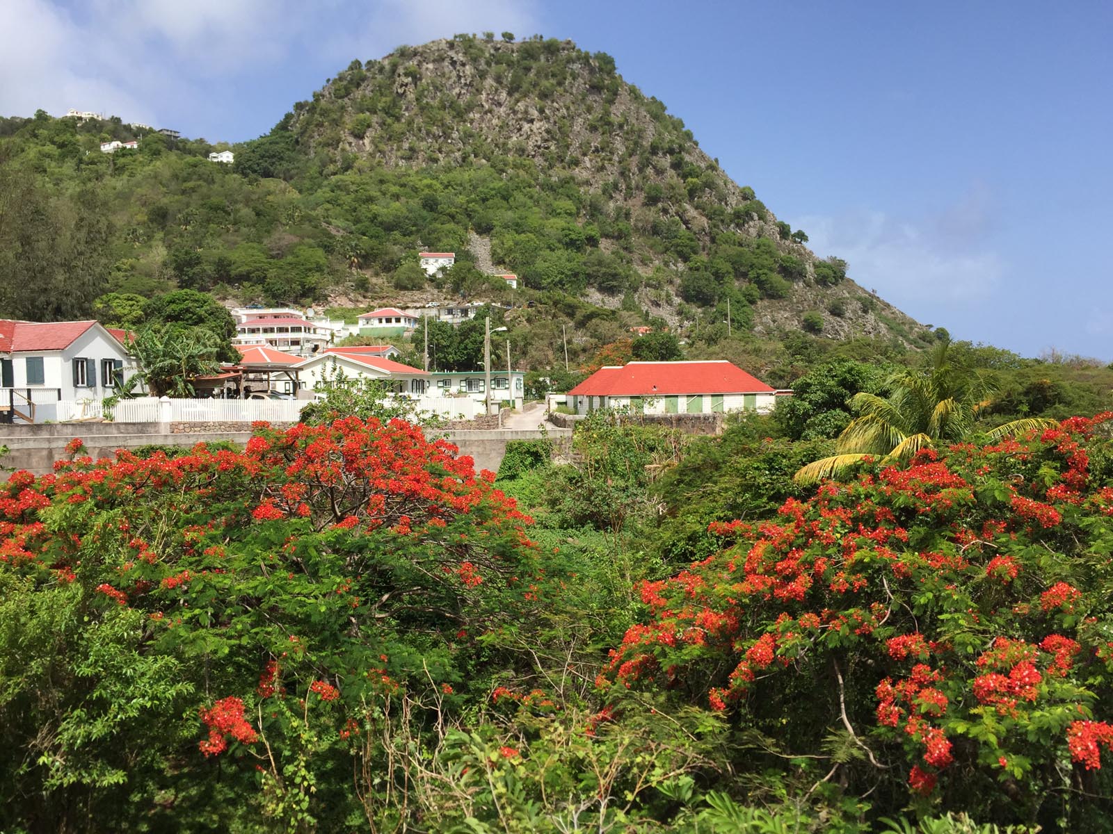
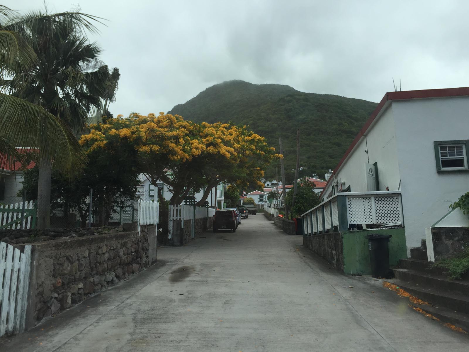
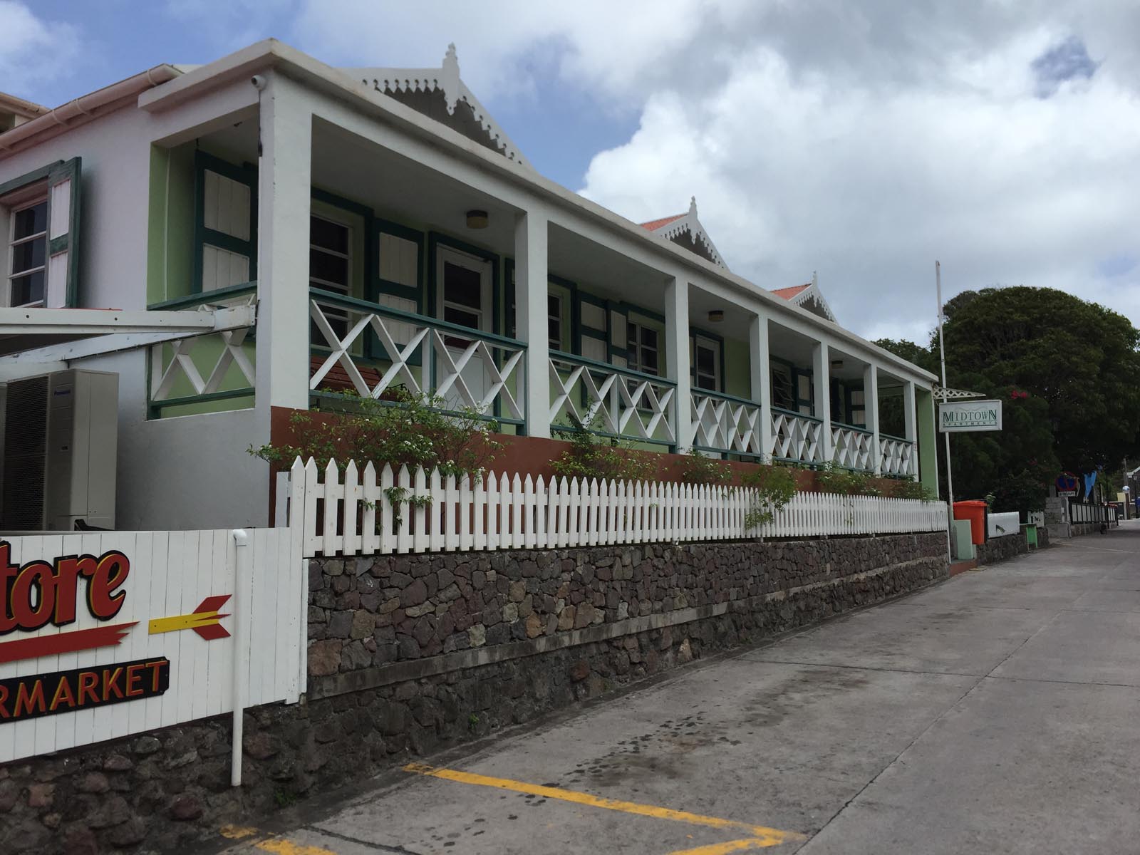
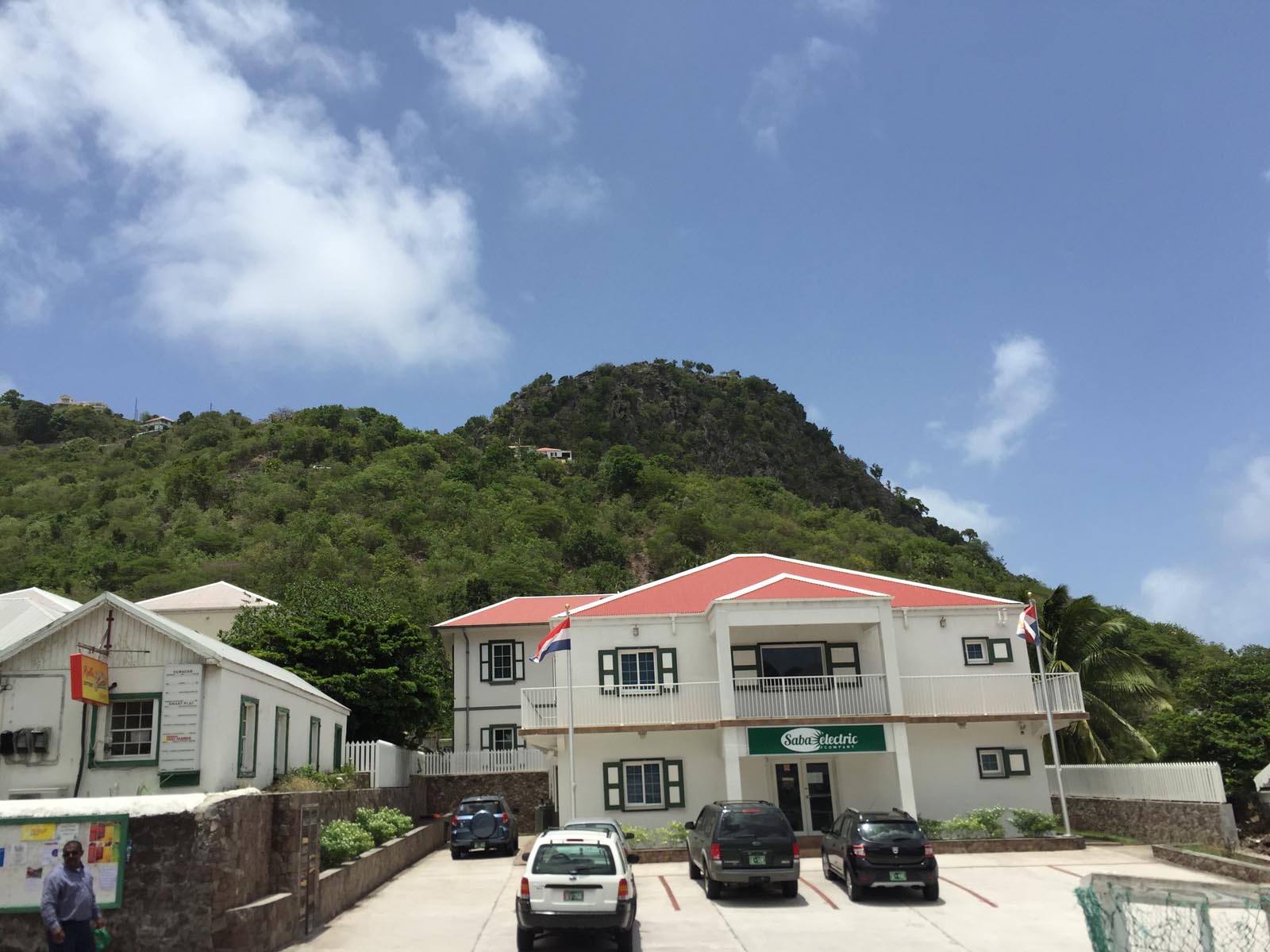
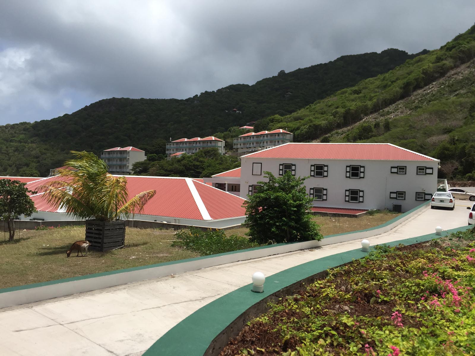
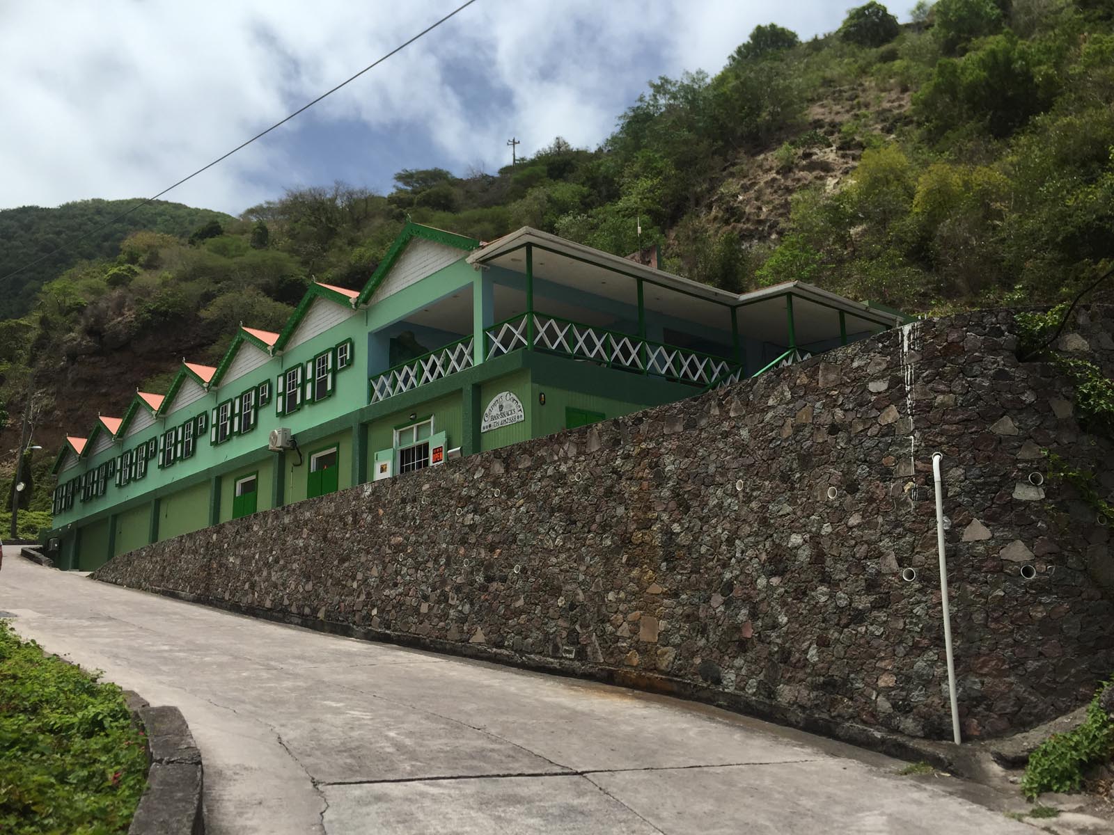
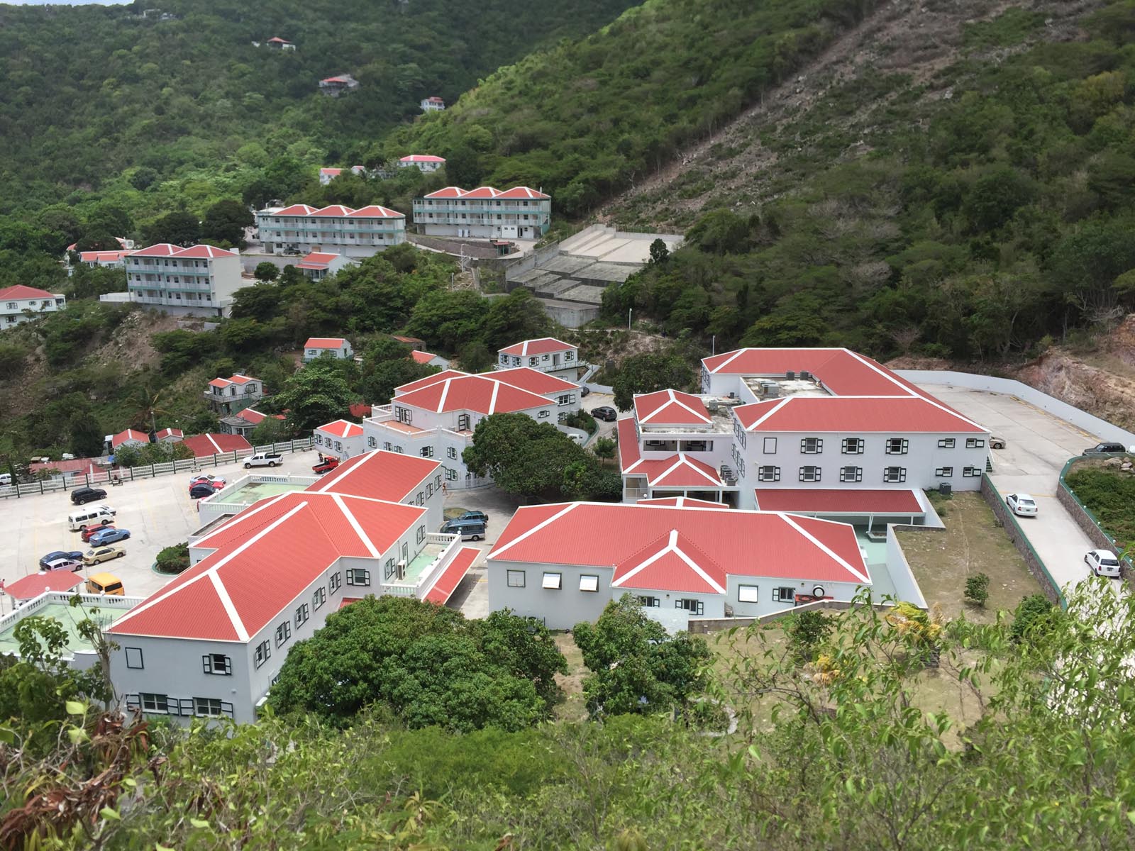
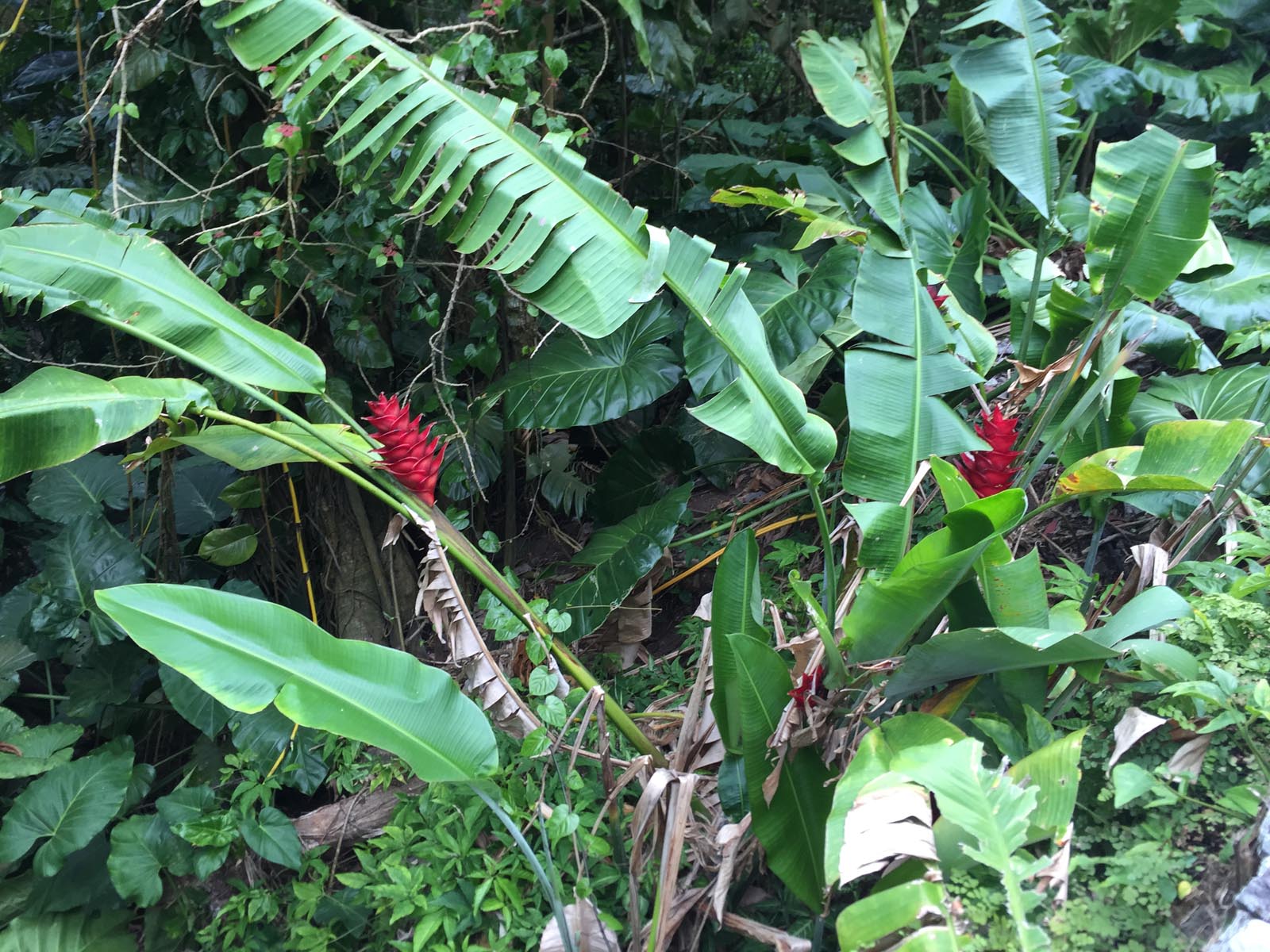
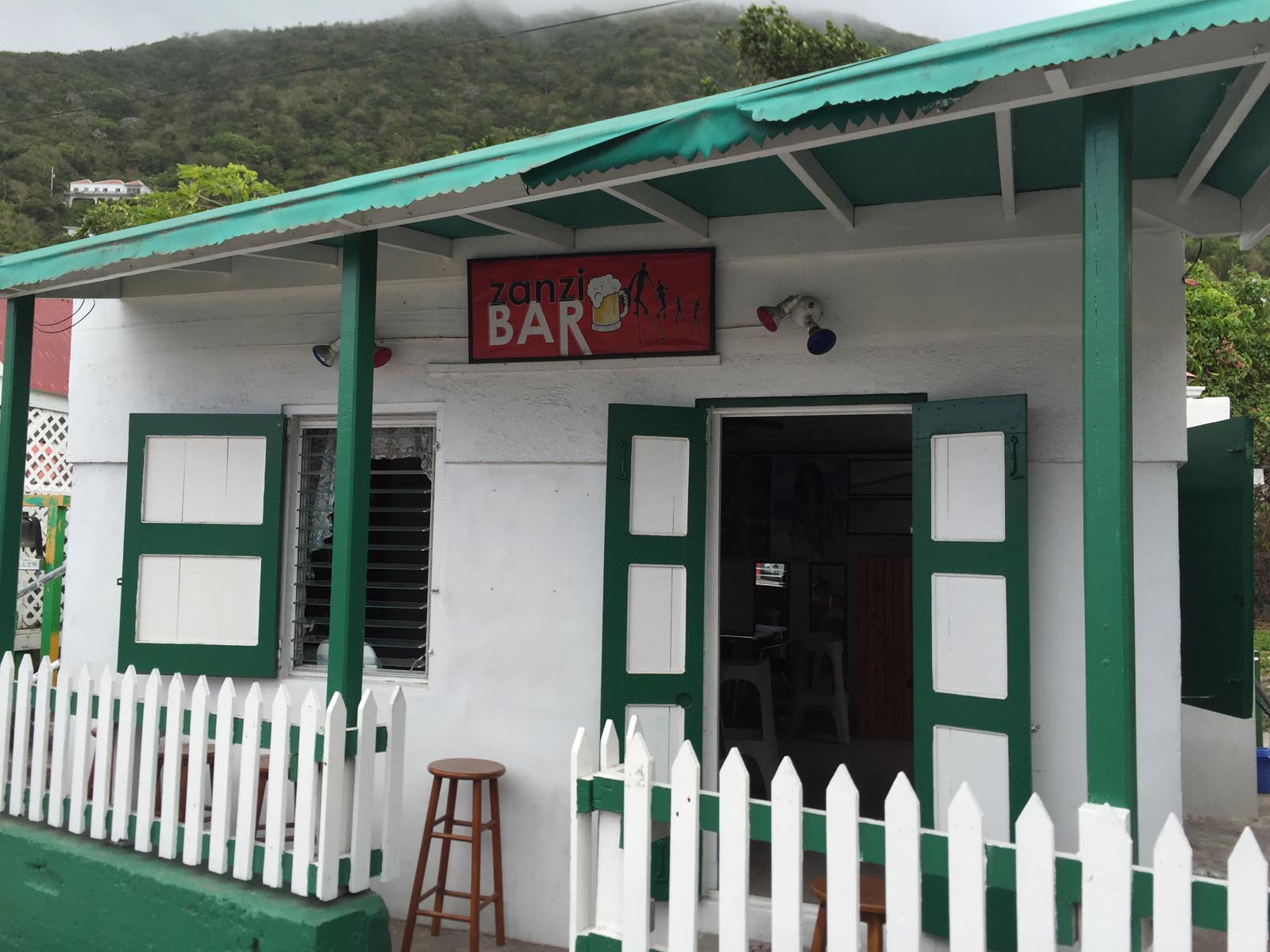
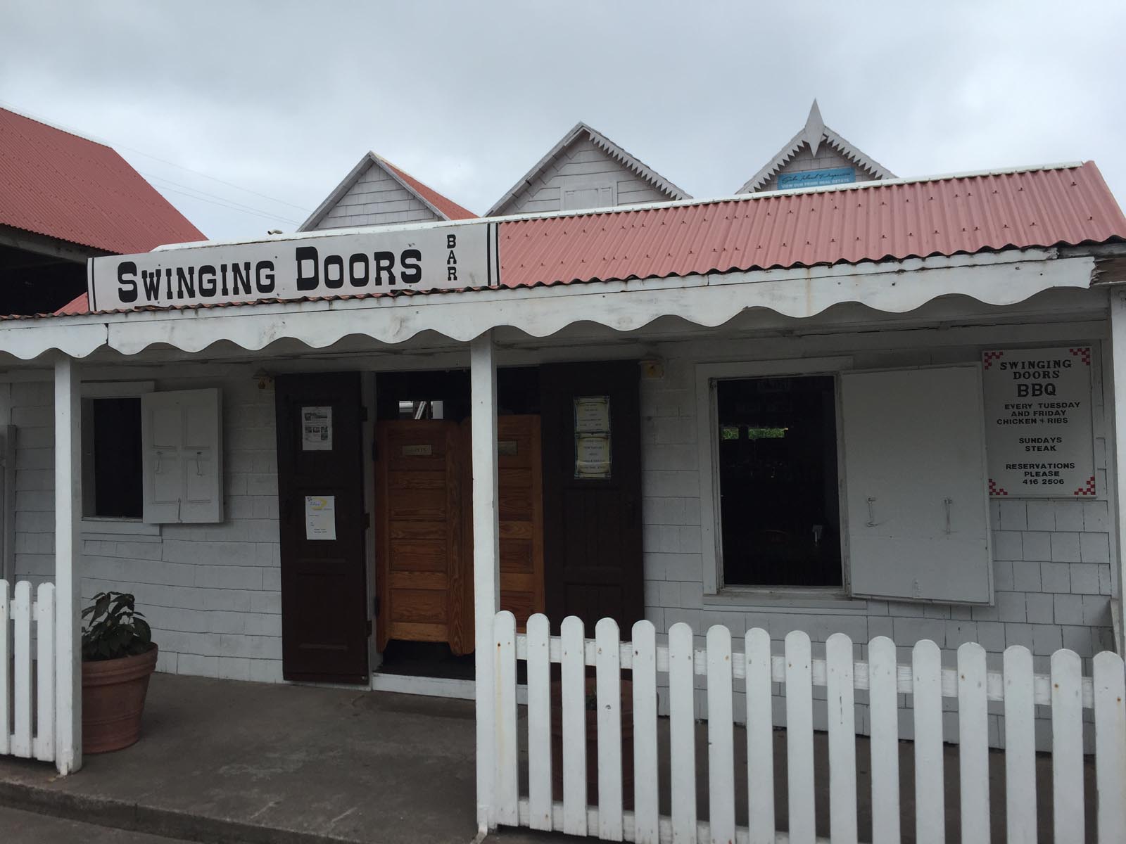
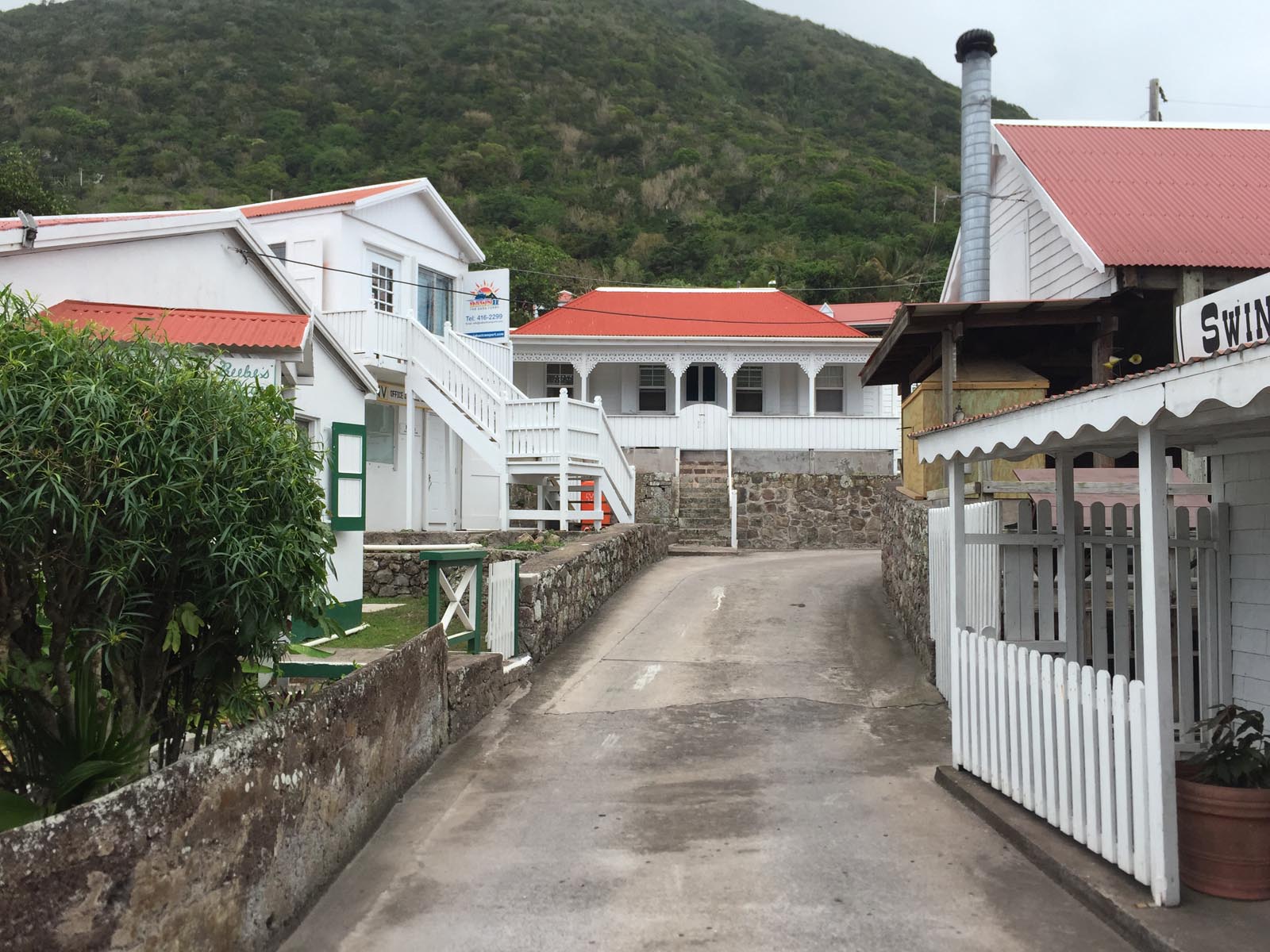
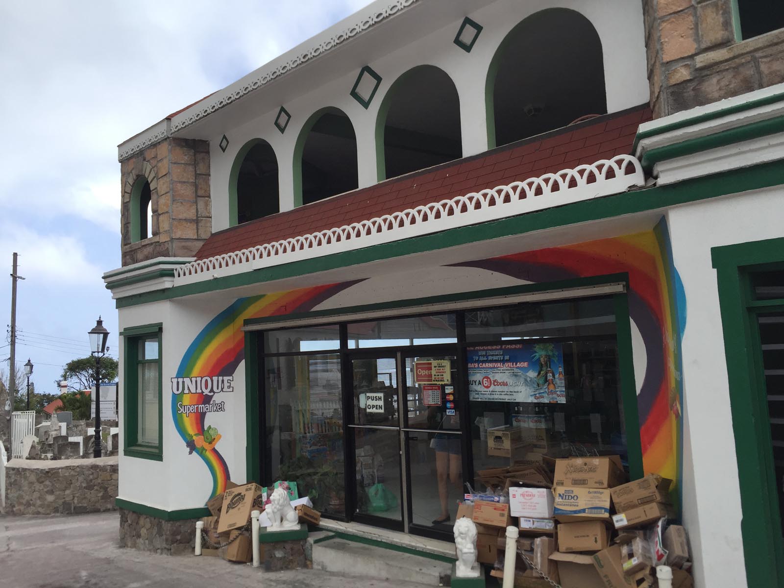
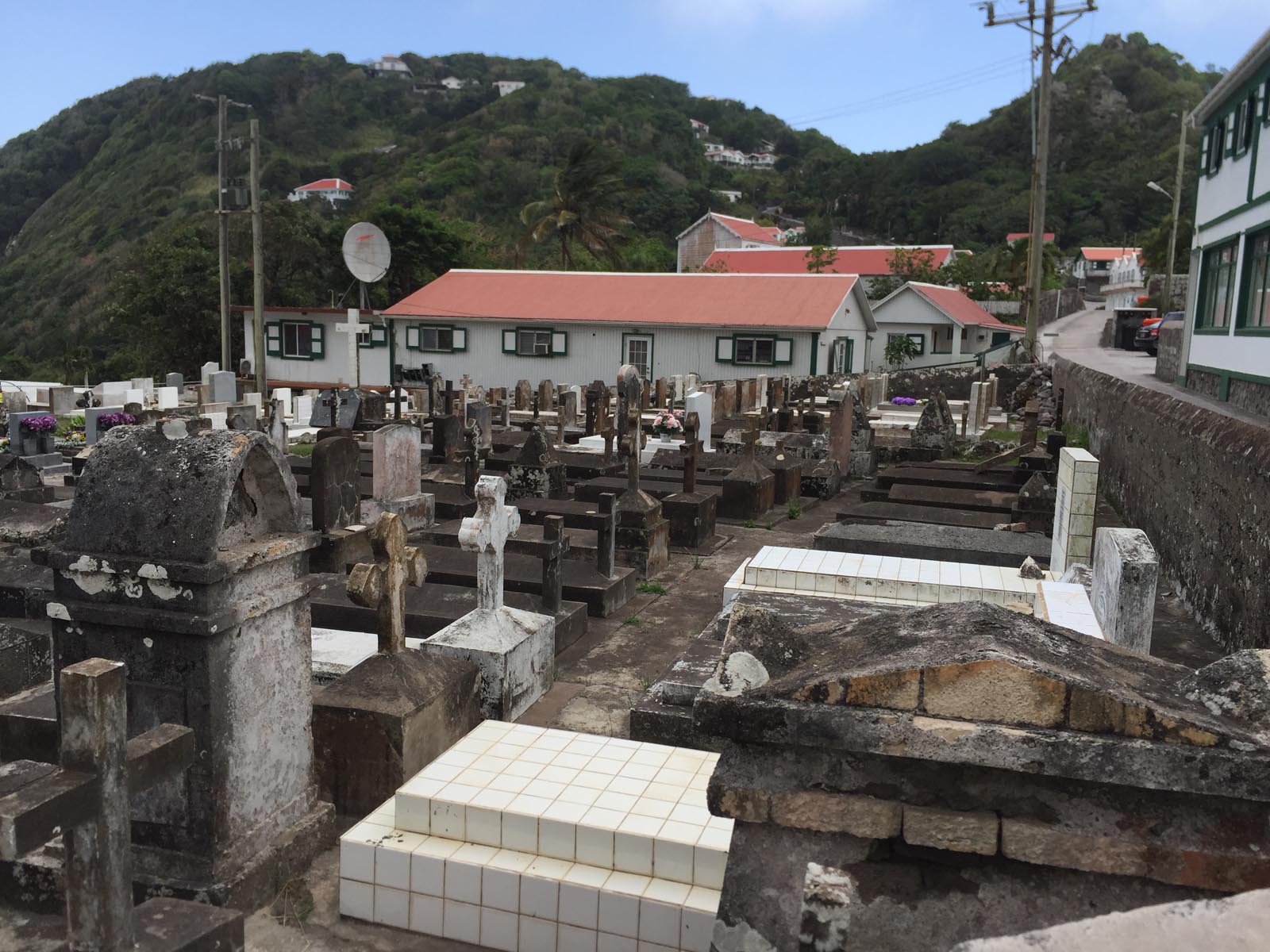
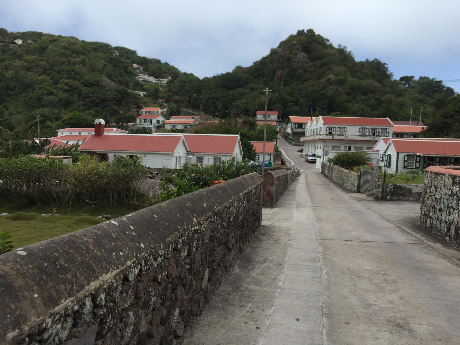
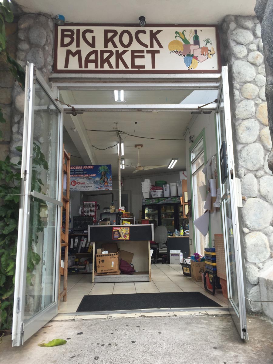
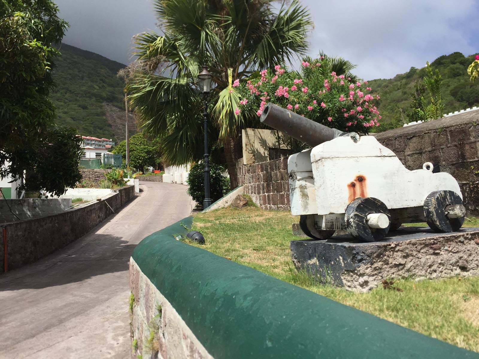
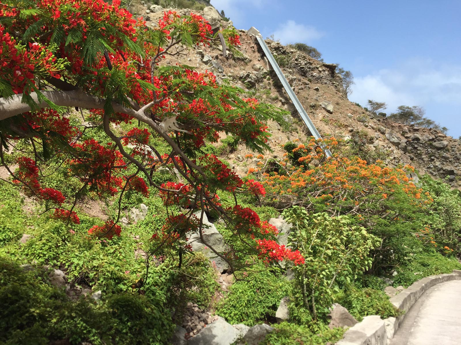
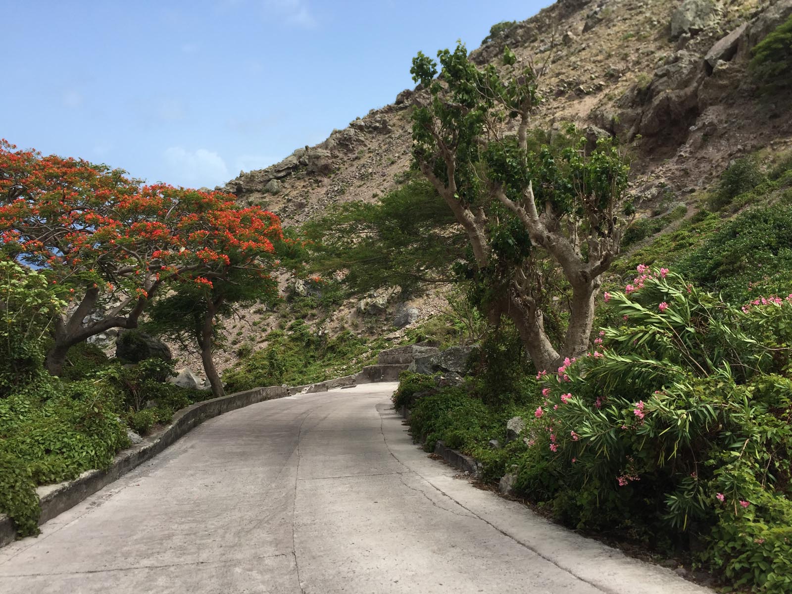
The capital, The Bottom, is a very cozy and clean little village, with a few small shops and few cultural highlights. What was really special about this place and this fantastic environment was the countless bright red flame trees that made the island of Saba so fascinating and unique.
I will probably never forget this sight and this impressive panorama of my personal favorite trees. On every subsequent trip where I saw isolated red flame trees, I always immediately thought back to the island of Saba.
After a few hours in the capital, we didn't miss the opportunity to take a leisurely walk down this unique path lined with red trees to the harbor.
After a fantastic day trip to this impressive volcanic island, we took our ferry back to St. Maarten in the late afternoon, where we spent two more relaxing days.

No Comments